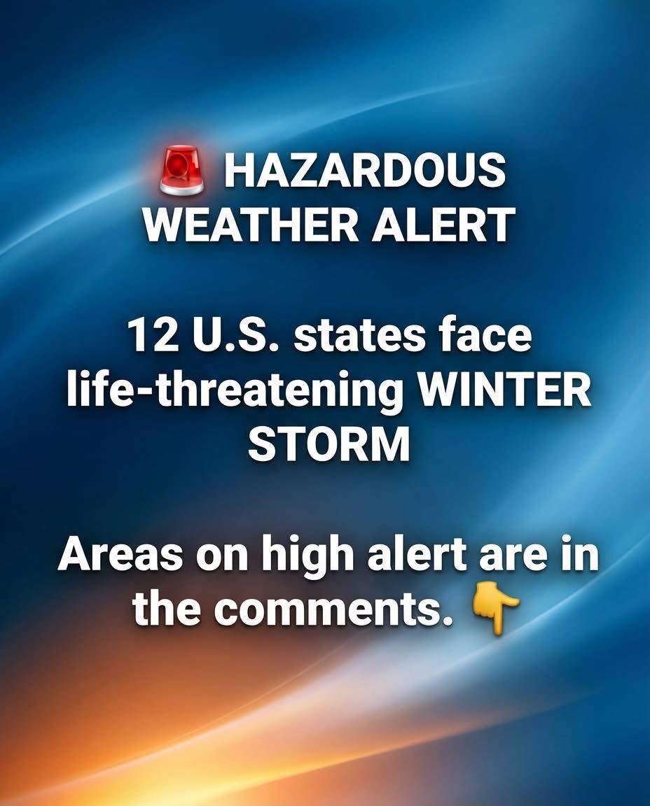
Arctic Blast Triggers Dangerous Winter Storm Alerts Across 12 States: Ice, Heavy Snow, and Life-Threatening Wind Chills Through the Weekend
A powerful Arctic air mass is surging across the central U.S. and pushing into the Northeast, setting up a high-impact winter weather event that forecasters say could disrupt travel, strain power grids, and create dangerous conditions for millions. The National Weather Service has issued multiple winter storm warnings and cold-weather alerts as this system brings a volatile mix of heavy snow, freezing rain, and extreme wind chills across roughly a dozen states.
This isn’t a typical cold snap. The setup combines several hazards at once—rapid temperature drops, strong winds, and precipitation that can switch from snow to sleet to ice with little notice. That combination is what often leads to the biggest problems: impassable roads, downed trees, and widespread power outages.
When the Storm Is Expected to Peak
While conditions may deteriorate in waves, the most dangerous window is expected from Thursday evening through Saturday morning. During that period, roads can go from merely slick to nearly impossible—especially overnight, when temperatures fall fast and any moisture refreezes.
In parts of East Arkansas and North Mississippi, snowfall totals in the range of 4 to 6 inches are possible. In regions that don’t routinely see that kind of snow, even “moderate” totals can overwhelm local road crews and create serious travel hazards—particularly if a layer of ice forms underneath.