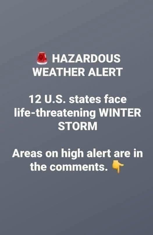
A potentially dangerous ice storm is forecast to sweep across parts of the Mid-Atlantic, prompting weather experts and emergency officials to warn residents not to underestimate the threat. While snowstorms tend to grab attention, freezing rain is often far more disruptive, capable of shutting down roads, damaging power infrastructure, and creating life-threatening conditions in a matter of hours.
According to the National Weather Service, the storm is expected to affect large portions of Maryland, Virginia, West Virginia, and Pennsylvania. The highest impact areas include north-central and western Maryland, northwestern Virginia, eastern West Virginia, and central to western Pennsylvania, where prolonged freezing rain and gusty winds could combine to create hazardous conditions. Forecasters caution that even modest ice buildup may lead to widespread travel problems and power failures.
Ice storms differ significantly from typical winter weather events. Snow is visible and often prompts caution, but ice forms a nearly invisible layer that eliminates traction on roads and sidewalks. Surfaces that appear wet can instantly become slick, particularly on bridges, overpasses, and untreated side roads. Safety officials emphasize that many winter-related crashes and injuries occur during freezing rain because drivers and pedestrians misjudge the danger.
Meteorologists explain that the storm’s setup is ideal for ice formation. Warm air aloft allows precipitation to remain liquid as it falls, while cold air near the surface causes that rain to freeze on contact. This creates a growing sheet of ice on trees, power lines, vehicles, and buildings. Just a quarter-inch of ice can be enough to snap branches and disrupt electricity, while heavier amounts greatly increase the risk of extended outages.
Utility companies across the region are preparing by staging repair crews and equipment. Ice adds tremendous weight to trees and electrical lines, and when paired with wind, failures can spread quickly across communities. Officials warn that power restoration could take longer than usual, especially in remote or mountainous areas where access is limited and damage may be widespread.
Transportation agencies are also bracing for difficult conditions. While highways have been pre-treated in advance, freezing rain can quickly reduce the effectiveness of salt and brine. Snowplows offer little help when ice, not snow, is the main problem. Authorities strongly recommend avoiding nonessential travel, particularly overnight and during early morning hours when temperatures are coldest and icing is most severe.
Airports throughout the Mid-Atlantic are monitoring the situation closely. Ice buildup on aircraft can lead to flight delays and cancellations, causing ripple effects across travel networks. School districts and local governments are also preparing for potential closures or shifts to remote learning, recognizing the increased risk icy roads pose to buses and student drivers.
What Residents Should Do Now
Emergency management officials stress that preparation should happen before conditions deteriorate. Residents are encouraged to gather emergency supplies, including several days’ worth of food and water, necessary medications, flashlights, batteries, and fully charged mobile devices. Portable power banks can be especially valuable if power outages occur. Anyone using generators should follow safety guidelines carefully to avoid carbon monoxide exposure.
People who rely on electric medical equipment are advised to notify utility providers and caregivers in advance. Many power companies maintain priority restoration programs for medically vulnerable customers, but these systems work best when information is updated before a storm hits. Families are also encouraged to check on elderly neighbors and individuals with limited mobility.
Outside the home, officials recommend securing loose items, insulating exposed pipes, and avoiding parking under trees or power lines. Ice-covered branches can fall suddenly, posing a serious risk. If walking outdoors is unavoidable, residents should wear footwear with good traction and move slowly, assuming every surface may be slippery.
A Subtle Storm With Serious Risks
One of the most dangerous aspects of ice storms is how quietly they arrive. Light rain can make it tempting to continue daily routines, but emergency officials repeatedly warn that this mindset is risky. Freezing rain is among the most dangerous winter weather hazards precisely because it disguises its severity.
Forecasters expect conditions to gradually improve by late Thursday as temperatures rise and precipitation tapers off. However, hazards may persist well beyond the storm itself. Downed trees, blocked roads, and damaged power lines can take days to repair, and melting ice may refreeze overnight, creating renewed dangers.
Past Mid-Atlantic ice storms have left communities without electricity, heat, or reliable transportation for extended periods. Those experiences have shaped current warnings, which emphasize caution over convenience. Officials stress that no commute or errand is worth the risk of injury or becoming stranded.
Final Word
The guidance from meteorologists and emergency managers is clear: this ice storm should be taken seriously. Prepare early, stay informed through official weather alerts, and limit exposure until conditions improve. Ice may be quiet and easy to overlook, but its effects can be severe and long-lasting.
In a region where winter weather can change rapidly, planning ahead is not alarmist — it’s practical. Even a thin coating of ice can bring daily life to a halt, and those who prepare now will be in the best position to stay safe.