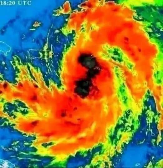
A storm reaching Category 5 strength is the kind of update that gets people’s attention fast, and for good reason. Reports describe Hurricane Melissa as a rapidly intensifying Atlantic hurricane with sustained winds of at least 157 miles per hour, the threshold for the highest category on the Saffir-Simpson wind scale. But the most important detail for anyone watching the forecast is this: the storm’s exact path remains uncertain, and official updates matter more than viral graphics or social media speculation.
Category 5 does not mean every location near the forecast cone will experience the same conditions. It does mean the hurricane is capable of extreme wind damage near its strongest core, while other hazards can spread much farther out. Storm surge, flooding rain, dangerous waves, rip currents, and tornadoes in outer rain bands can threaten areas well away from the eye.
What the Category 5 Label Really Means
The Category 5 rating is based on sustained wind speed. It does not measure the total size of the storm, the height of storm surge, or how much rain a community may receive. That distinction matters because a hurricane can be devastating even in places outside the narrow line shown on a map.
Forecast cones show the possible track of the storm’s center. They do not show the full area where damaging weather may occur. A large hurricane can bring hazardous conditions far from its center, and the cone becomes less certain the farther it extends into the future. Small changes in steering winds can shift the projected track, which is why meteorologists update advisories regularly.